Yuexiu District
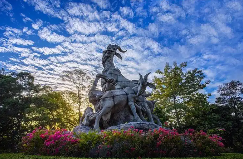
Yuexiu District is the most ancient central urban district of Guangzhou, located at the heart of the city. It is the political center of Guangdong Province, serving as the seat of the provincial and municipal Party committees, governments, and people‘s congresses. Covering 33.8 square kilometers, Yuexiu is the iconic cluster of administrative, commercial, historical, cultural, educational and healthcare resources in the city.
Source: Official Website of Guangzhou Municipal People‘s Government – “Administrative Regions” Section (www.gz.gov.cn); and the Guangzhou Municipal Territorial Spatial Master Plan (2021–2035) for Yuexiu District
Haizhu District
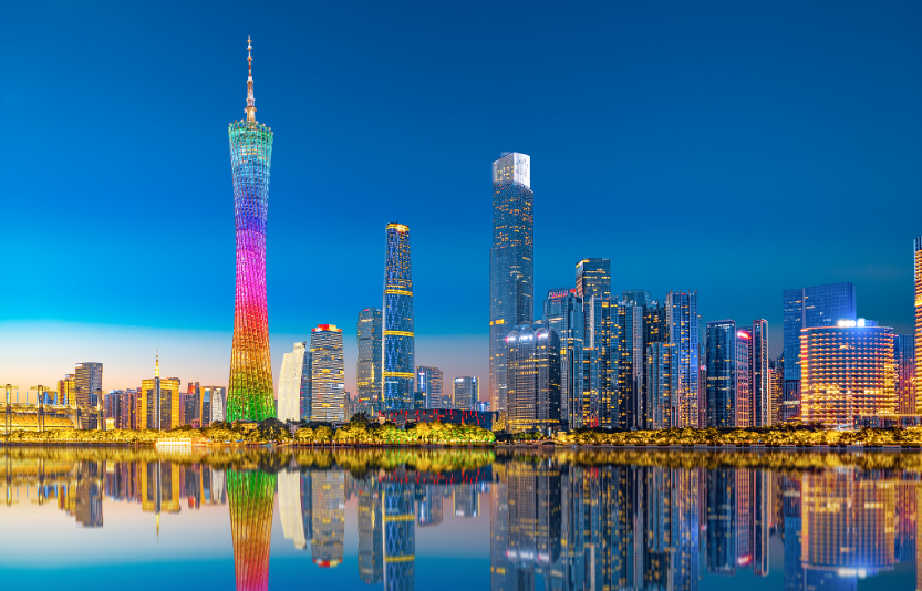
Haizhu District is located on the south bank of the Pearl River, with its main body being Haizhu Island (commonly known as Henan Island). It is the only district in Guangzhou situated between the front and rear waterways of the Pearl River, serving as a vital link between the two banks. Haizhu is positioned as a New Quality Productivity Pioneer Zone and the World-Class City‘s Living Room, with core functions as a leading area for artificial intelligence and the digital economy.
Source: Official Website of Guangzhou Municipal People’s Government – “Administrative Regions” Section (www.gz.gov.cn); and the Guangzhou Municipal Territorial Spatial Master Plan (2021–2035) for Haizhu District
Liwan District
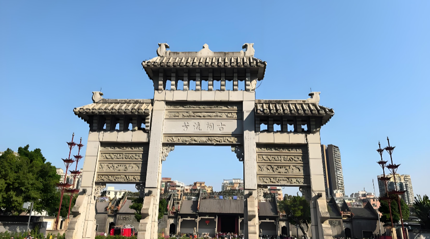
Liwan District is the core area of Lingnan culture and the core pole of the Guangzhou-Foshan metropolis in the Guangdong-Hong Kong-Macao Greater Bay Area. It is home to cultural landmarks such as Chen Clan Ancestral Hall, Shamian Island, and Shangxiajiu Pedestrian Street. Liwan is positioned as a key national historical and cultural city area and a demonstration zone for the integrated development of culture, commerce, and tourism that showcases Lingnan cultural characteristics.
Source: Official Website of Guangzhou Municipal People‘s Government – “Administrative Regions” Section (www.gz.gov.cn); and the Guangzhou Municipal Territorial Spatial Master Plan (2021–2035) for Liwan District
Tianhe District
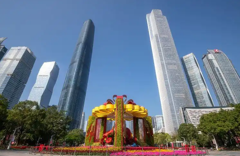
Tianhe District, established in May 1985 with the approval of the State Council, is Guangzhou’s central business district and economic hub. It has been the top performer in GDP among all districts for years and is known as the city‘s “living room.“ Tianhe is positioned as a World-Class City’s Living Room and a cluster area for digital economy and headquarters economy, serving as the core area of an international consumption center city.
Source: Official Website of Guangzhou Municipal People‘s Government – “Administrative Regions” Section (www.gz.gov.cn); and the Guangzhou Municipal Territorial Spatial Master Plan (2021–2035) for Tianhe District
Baiyun District
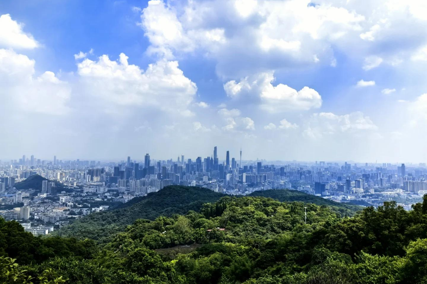
Baiyun District is located in the north-central part of Guangzhou and is named after the Baiyun Mountain Scenic Area within its territory. It is the largest central urban district in Guangzhou by area and has the largest permanent resident population. Baiyun is positioned as a key gateway of the international comprehensive transportation hub and a mountain-water smart urban area, serving as a national demonstration zone for private enterprise scientific and technological innovation.
Source: Official Website of Guangzhou Municipal People’s Government – “Administrative Regions” Section (www.gz.gov.cn); and the Guangzhou Municipal Territorial Spatial Master Plan (2021–2035) for Baiyun District
Huangpu District
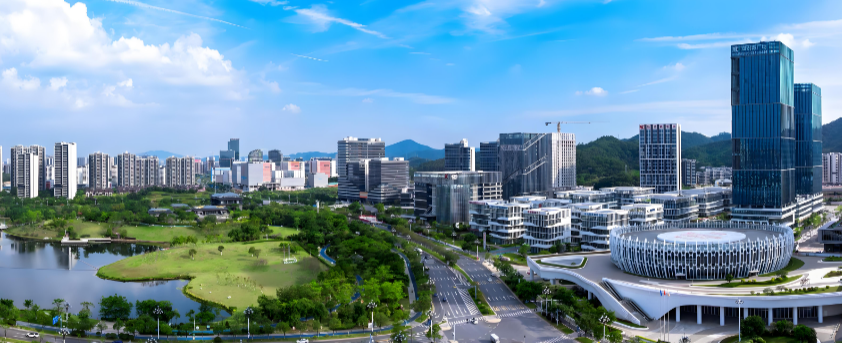
Huangpu District is located in the eastern part of Guangzhou, at the top of the Guangdong-Hong Kong-Macao Greater Bay Area, earning the nickname “Pearl at the Top of the Bay.“ In 2014, the former Huangpu and Luogang districts were merged to establish the new Huangpu District. Huangpu is positioned as Guangzhou‘s industrial development growth pole and the main engine of scientific and technological innovation in the Bay Area.
Source: Official Website of Guangzhou Municipal People’s Government – “Administrative Regions” Section (www.gz.gov.cn); and the Guangzhou Municipal Territorial Spatial Master Plan (2021–2035) for Huangpu District
Huadu District
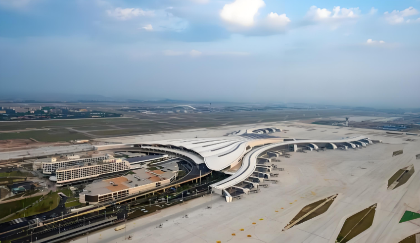
Huadu District is located in the northern part of Guangzhou, serving as the gateway to the provincial capital. It hosts two major transportation hubs — Guangzhou Baiyun International Airport and Guangzhou North Railway Station — making it a world-class aviation metropolis area and a key growth pole in the northern part of the Greater Bay Area. Huadu is positioned as an international comprehensive transportation hub gateway and a national urban-rural integrated development demonstration zone.
Source: Official Website of Guangzhou Municipal People‘s Government – “Administrative Regions” Section (www.gz.gov.cn); and the Guangzhou Municipal Territorial Spatial Master Plan (2021–2035) for Huadu District
Panyu District
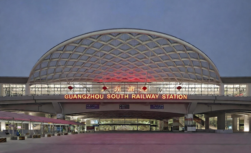
Panyu District is located in the southern part of Guangzhou and has a history of over 2,200 years as the birthplace of Lingnan culture and a starting point of the Maritime Silk Road. It is home to Guangzhou South Railway Station and Chimelong Tourist Resort. Panyu is positioned as a high-quality living circle in the Greater Bay Area and an innovation leader in intelligent manufacturing.
Source: Official Website of Guangzhou Municipal People’s Government – “Administrative Regions” Section (www.gz.gov.cn); and the Guangzhou Municipal Territorial Spatial Master Plan (2021–2035) for Panyu District
Nansha District
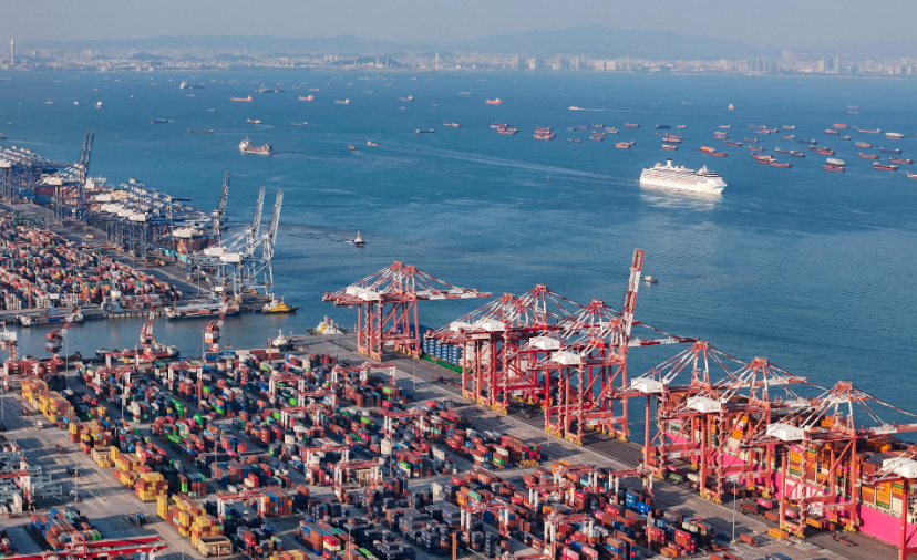
Nansha District is located at the southernmost tip of Guangzhou, at the geometric center of the Guangdong-Hong Kong-Macao Greater Bay Area. Established as an administrative district in 2005, it was approved as a national-level new area in 2012 and a pilot free trade zone in 2014. Nansha is positioned as a new engine for high-quality development in the Greater Bay Area and a new benchmark for comprehensive Guangdong-Hong Kong-Macao cooperation.
Source: Official Website of Guangzhou Municipal People‘s Government – “Administrative Regions” Section (www.gz.gov.cn); and the Guangzhou Municipal Territorial Spatial Master Plan (2021–2035) for Nansha District
Conghua District
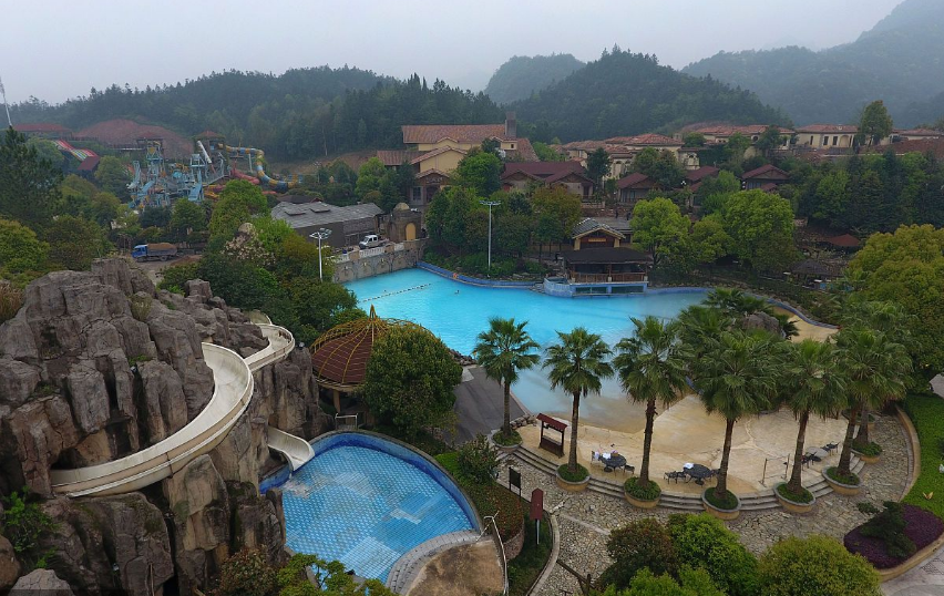
Conghua District is located in the northeastern part of Guangzhou and is the largest administrative district in the city by area. With a forest coverage rate of 69.1%, it is known as the “back garden of Guangzhou“ and is famous for its rare hot springs. Conghua is positioned as an international exchange and cooperation platform, a national urban-rural integrated development demonstration zone, and a green development demonstration zone.
Source: Official Website of Guangzhou Municipal People’s Government – “Administrative Regions” Section (www.gz.gov.cn); and the Guangzhou Municipal Territorial Spatial Master Plan (2021–2035) for Conghua District
Zengcheng District
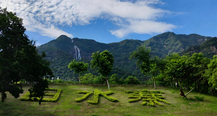
Zengcheng District is located in the eastern part of Guangzhou, on the north bank of the lower Dongjiang River. It was established as a county in 201 AD during the Eastern Han Dynasty and was re-designated as a district of Guangzhou in 2015. Zengcheng is positioned as a key gateway of the international comprehensive transportation hub and a national urban-rural integrated development demonstration zone.
Source: Official Website of Guangzhou Municipal People‘s Government – “Administrative Regions” Section (www.gz.gov.cn); and the Guangzhou Municipal Territorial Spatial Master Plan (2021–2035) for Zengcheng District


 京公网安备11010802044359